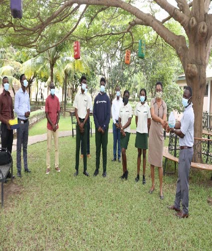
 The MYP 5 Geography class of Tema International School participated in the 2020 World Geographic Information Systems (GIS) day celebrations on Wednesday, 18 November 2020. In order to meet the COVID-19 protocols, this year’s event was held virtually via ZOOM and hosted by AccuGeospatial. The event involved activities such as industry-based GIS presentations from the Oil & Gas, Agriculture, Telecommunications and Non-Profit Industries, as well as an Inter-Schools GIS challenge.
The TIS team was privileged to participate in the Inter-Schools GIS challenge with their colleagues from SOS. The team used ARCGIS software to build a dashboard to display current data on the spatial distribution of global COVID-19 cases using data form the Johns Hopkins University. Karen Quarshie and Selorm Essey proudly led the team with support from Phoebe Osei and Samuel Agyenim Boateng. The presentation was excellent and received outstanding commendations from a team of GIS experts.
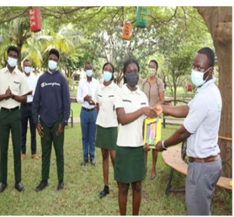 We extend our warmest congratulations to the team. TIS is proud of this great achievement. May I take this opportunity to express our heartfelt appreciation to the ACCU Geospatial team led by Mr. Richmond Kyei-Baffour for their relentless efforts in providing us with the necessary technical support. (Dr Michael Odame, Geography Teacher)
Reflections from a Participants
The process of preparing for the ArcGIS competition was very hectic. I had to implement self-management skills into my daily routine, as practice for the competition went on during the thirty minutes after lunch. Collaboration skills were also used throughout the preparation, and the competition itself, due to the fact that I had to collaborate with my partner, teacher and the representative as well. I also utilised thinking skills when creating our product (map) for the competition. All in all, the competition was really challenging, and I am looking forward to more of them. ~Selorm Essey (MYP 5 Geography student)
The 2020 World Geographic Information Systems (GIS) day competition was a very insightful experience for me. From the day we began planning until the actual competition. I have learnt a lot about the use of ArcGIS to manipulate and display geographic data. I was able to make use of my collaboration skills with some of my grade mates, as well as the Geomentors from ACCU Geospatial who guided us in the development of our dashboard and webpage for the competition. I am grateful that I have been able to take part and learn something new that will be both beneficial in school, as well as outside school. ~Karen Quarshie (MYP 5 Geography student)